4.9 km | 9.2 km-effort
Forts Central et Pernante
jlrayon
User
Length
8.8 km
Max alt
2100 m
Uphill gradient
405 m
Km-Effort
14.2 km
Min alt
1796 m
Downhill gradient
406 m
Boucle
Yes
Creation date :
2015-06-23 00:00:00.0
Updated on :
2015-06-23 00:00:00.0
2h53
Difficulty : Easy
FREE GPS app for hiking
About
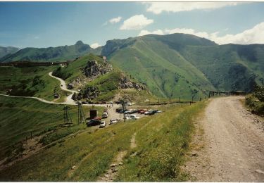
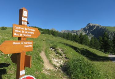
Trail Walking of 8.8 km to be discovered at Piemont, Cuneo, Limone Piemonte. This trail is proposed by jlrayon.
Description
Au départ du Col de tende "Géographique"
Positioning
Country:
Italy
Region :
Piemont
Department/Province :
Cuneo
Municipality :
Limone Piemonte
Location:
Unknown
Start:(Dec)
Start:(UTM)
385158 ; 4890213 (32T) N.
Comments
Trails nearby
Circuit des Forts
On foot
Easy
Tende,
Provence-Alpes-Côte d'Azur,
Maritime Alps,
France
10.7 km | 16.9 km-effort
3h 50min
Yes
(SI E06) Limonetto - Palanfrè
On foot
Medium
Limone Piemonte,
Piemont,
Cuneo,
Italy
10.3 km | 23 km-effort
5h 11min
No
Roche de l'Abisse
Walking
Medium
Tende,
Provence-Alpes-Côte d'Azur,
Maritime Alps,
France
13 km | 26 km-effort
7h 32min
Yes
Col de Tende
Snowshoes
Medium
Tende,
Provence-Alpes-Côte d'Azur,
Maritime Alps,
France
20 km | 30 km-effort
5h 50min
Yes
Forts du Col de tendes
Walking
Very easy
(1)
Limone Piemonte,
Piemont,
Cuneo,
Italy
12.7 km | 24 km-effort
4h 0min
Yes
Traversée du Marguareis à VTT (variante) - Tende
Mountain bike
Difficult
Limone Piemonte,
Piemont,
Cuneo,
Italy
57 km | 79 km-effort
6h 0min
No
col sabion
Walking
Medium
Tende,
Provence-Alpes-Côte d'Azur,
Maritime Alps,
France
12.2 km | 19.5 km-effort
6h 20min
No